Detailed 3D maps of Taranaki will be available later this year following a high-tech aerial laser survey that began this month.
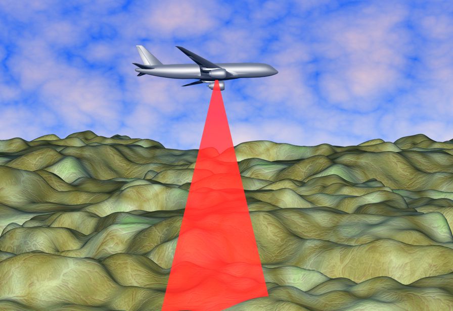
Graphic artist's impression of a LiDAR aerial survey. A small twin-engine aircraft is carrying out the Taranaki survey. It flies at relatively high altitudes and LiDAR beams are not visible to the naked eye.
The LiDAR (Light Detection and Ranging) survey is gathering land-surface and elevation data that can be used to generate 3D maps and models that will have a wide range of potential uses in environmental management and planning, management of natural hazards, planning of facilities and infrastructure and tracking changes to the coastline and river flows and courses.
“It’s very exciting – it takes Taranaki to the next level of mapping,” says Dan Harrison, Director-Operations for the Taranaki Regional Council (TRC).
Funding for the $750,000 project has come from the Provincial Growth Fund, via Land Information New Zealand – Toitū te Whenua (LINZ), with contributions from Taranaki’s four Councils and the University of Auckland. TRC is the lead agency regionally.
The aerial survey began last week and will continue until July 2021. LiDAR data can be collected from a relatively high level so the plane will not disturb people or livestock. LiDAR beams are invisible to the naked eye and do not interfere with communications frequencies.
Datasets for Taranaki will be available by the end of 2021 and will be available to the public through the TRC or LINZ.
“The Council will be open to requests and will happily provide the data, as well as advice on how to use it if necessary,” says Mr Harrison. “At the same time, our own staff will be rapidly getting up to speed on the best ways to use this new information." He says it will be a valuable tool for the Council in many ways. Potential uses include:
- Assessing vegetation cover and habitat quality.
- Getting a more accurate picture of erosion.
- Allowing better modelling of the effects of floods and droughts.
- Monitoring the changes in coastal dunes.
- Providing a clearer picture of the steepness of hill country land.
- Allowing sharper definition of sites of cultural significance.
“The list will expand in terms of our own uses,” says Mr Harrison. “The LiDAR data will also help New Plymouth, Stratford and South Taranaki District Councils in their land-use planning and the provision of services like pipelines and roads. Auckland University came on board because they see great value in obtaining data on Taranaki Maunga’s volcanic cone. Their work with this will also be of benefit to the whole region.
“There will also be uses in the private sector in terms of surveying, engineering, construction, and farm planning, to name a few.”
For more information on LiDAR mapping in New Zealand, see https://www.linz.govt.nz/data/linz-data/elevation-data(external link)

Example of a LiDAR survey flightpath.